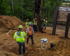
Geotechnical engineering is fundamental to all construction. For over 40 years S&ME has provided sound design advice on foundations, slopes, retaining structures, embankments, tunnels, levees, wharves, landfills, pavements and other…
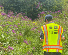
Environmental managers today wear many hats, often juggling employee health and safety responsibilities, on-going compliance programs, and closure of legacy contamination issues. Additionally, there is increasing public scrutiny…
Collaboration is not just a word. It is the essence of who we are and what we do. Internally, it means fostering a culture of creative collaboration in order to harness the best of our talents and energies. Externally, it means building a sense of shared…
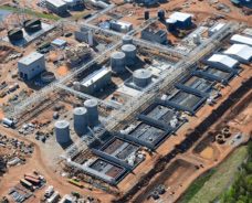
Construction materials engineering and testing provides an owner with confidence that their investment is built in accordance with the project’s plans and specifications. Our experienced engineers and certified technicians provide…