June 02, 2020
What is a Geographic Information System (GIS)?
A geographic information system (GIS) is a computer system that uses hardware and software to view, analyze, edit, and interact with spatial data such as streets, buildings, and utilities. GIS is a powerful tool that leverages databases with spatial elements which can be analyzed and shared in many ways, from powerful desktop software to easy to use mobile applications.
What is the Difference Between GIS and Computer-Aided Design (CAD)?
GIS and CAD are common tools used for mapping, but both serve different uses. GIS can help individuals and organizations better understand spatial patterns and relationships by mapping present features, while CAD software is used across many industries to create features and objects that do not exist. For example, these objects can include architectural designs, building and floor plans, electrical, mechanical and technical drawings, and even special effects in movies and shows. Moreover, CAD prepares a detailed design for new construction but is not well suited for keeping track of those improvements over a large area over time. GIS represents existing features in a spatial context, and is updated over time.
Town of Lynchburg GIS Project
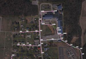
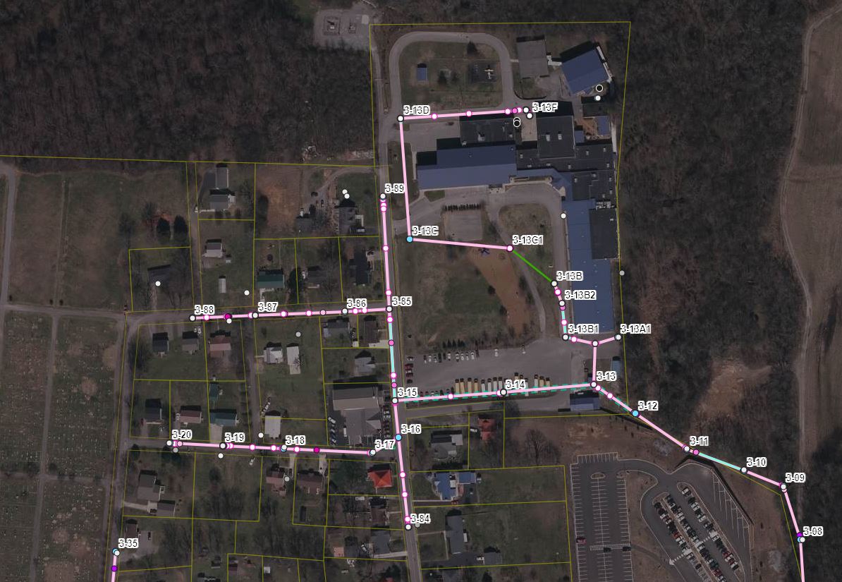
The Metro Utilities Department in Lynchburg, Tennessee contacted S&ME to bring paper maps of the town’s sanitary sewer system to the digital age. Our GIS team successfully employed a multi-tiered approach to building a comprehensive GIS for Lynchburg’s system.
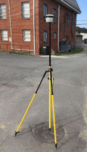
Our team digitized paper maps and sewer easement into an interactive online mapping system using high accuracy, survey-grade Global Navigation Satellite System (GNSS) equipment.
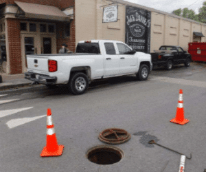
The team also conducted a Sewer System Evaluation Survey (SSES) that included manhole inspections, smoke testing, and closed-circuit television (CCTV) inspections of the entire system.
Through these efforts, S&ME was able to provide updates to Lynchburg’s sewer system that will identify sources of infiltration and inflow and collect data to formulate rehabilitation needs.
An important and noteworthy aspect of this project is the long-term usefulness of the dynamic maps our team created. The Town of Lynchburg can now view the maps in the office or on mobile devices in the field. When new issues arise, the easy to use online tools allow for enhanced real-time decision making. Additionally, these final datasets contain sewer assessment rankings, which will aid the Town of Lynchburg in rehabilitation planning and design of their sanitary sewer system.
Leveraging Technology with GIS

We spoke with S&ME employee-owner, Mark Crow, PLS, GISP, who leads the S&ME GIS team. Based in our Tri-Cities, Tennessee location, Mark works in our Water Business Unit as a Group Leader, Project Manager, Senior Reviewer, and Technical Lead. He serves mostly Public Sector clients with CAD, GIS, and Data Analysis.
We asked Mark what he most enjoyed about his job and he said,
“Sometimes you find things that just make you better across the board and those are the things that get me excited. I enjoy creatively approaching projects with new ideas, leveraging technology, using our workforce in a dynamic way that adds value to each job.
You can zero in on GIS technology like a nexus of a graph where it intersects at all the places where we’re going to be better for using it – meaning the end result is increased quality, safety, and efficiencies. Collaborating with a team that works together towards the same goal while consistently being able to creatively incorporate technology is what I love most about my job. ”
Connect with Mark:
Don’t Miss It! – Esri Webinar Hosted by S&ME Employee-Owners
Tackle Project Delivery Challenges with GIS
June 3rd, 2020 1:00 – 2:00 PM EST


S&ME employee-owners Thomas Catlett and Ben Lundberg are co-hosting a webinar with Esri, the worldwide leader in GIS software, regarding the aforementioned Lynchburg, TN project.
In this webinar, the Town of Lynchburg and S&ME will share how they used AEC Project Delivery to collaborate and share information.