John H. Kerr Dam & Reservoir Shoreline Stabilization Environmental Assessment
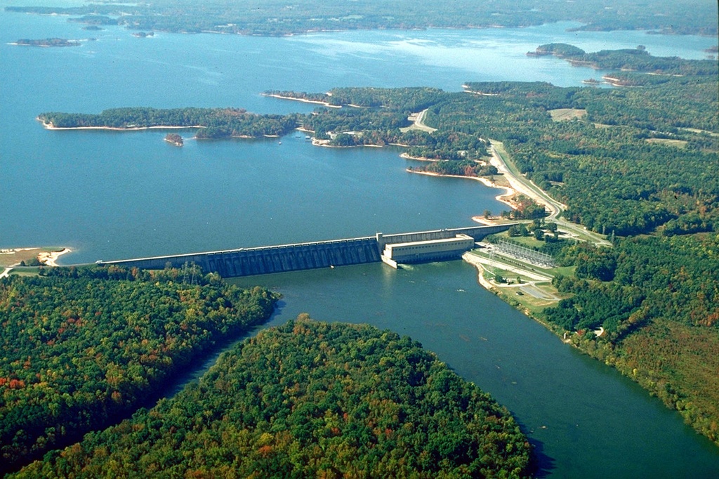
The John Kerr Dam stretches 39 miles along the Roanoke River. It traverses Halifax, Mecklenburg, and Charlotte Counties in Virginia, and Granville, Vance, and Warren Counties in North Carolina. The area is under the joint stewardship of the U.S. Army Corps of Engineers (USACE) and the North Carolina State Parks Department.
S&ME prepared an Environmental Assessment (EA) to identify and evaluate environmental impacts associated with proposed shoreline stabilization projects. The purpose of the EA was to comply with National Environmental Policy Act (NEPA) requirements. It would also provide pertinent environmental and project information to the public.
The proposed project involved sustainable measures to approximately 29 locations in 14 developed public recreation areas. It also included measures to protect adjacent residential properties. The EA addressed potential impacts including the physical environment, natural resources, and protected species. In addition, the EA addressed sensitive areas, cultural resources, and a determination of Finding of No Significant Impact (FONSI).
Highlights
- The reservoir, also known as Kerr or Buggs Island Lake, contains over 800 miles of shoreline