Mitigation Plan for Port Arthur
The project owner is preparing a compensatory mitigation plan for the unavoidable impacts to 769.1 acres of wetlands associated with construction of the Port Arthur Liquefaction Project in Port Arthur, Texas. The proposed project will beneficially use approximately 6.1 million cubic yards of dredged material for the restoration of approximately 1268.8 acres of tidally influenced coastal marsh. The material will be hydraulically dredged from the project site along the Port Arthur Ship Channel and pumped to the JD Murphree Wildlife Management Area, where it will be placed into 3 separate marsh creation areas.
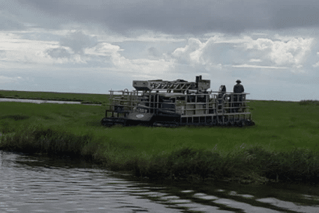
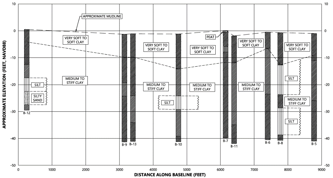
S&ME’s field exploration program included a total of 25 soil borings and 33 Cone Penetration Test (CPT) sounding locations. Five borings were completed on land in the proposed borrow site to a depth of 55 feet below ground surface. Another 20 soil borings were completed over shallow water in the MCA footprints to a depth of 40 feet below the mudline. CPT soundings were completed at thirty-three 33 locations around the perimeter of each of the MCAs to depths varying from 17 to 33 feet below the mudline. Soil borings were performed by SER and supervised by an S&ME engineer from a drill rig mounted on an amphibious tracked carrier.
Laboratory testing for the project included moisture content determination, unit weight determination, Atterberg limits, triaxial testing, gradation, consolidation, organic content, and minivane testing.
Geotechnical analyses for this project included a geological desktop study, slope stability analysis for the earthen containment dikes (ECDs), bearing capacity analyses for the ECDs, settlement analyses for the ECDs and the marsh subgrade, and marsh fill analyses.