Flat Lake Sediment Management Study
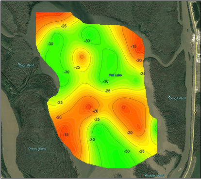
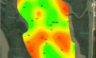
The proposed project area of Flat Lake is approximately 2,600 acres of tidally influenced open water. Sedimentation of the lake has occurred gradually, leading to the loss of aquatic habitat and a less healthy Atchafalaya Basin ecosystem. Additionally, nautical access has been limited due to shallow water depth. The proposed project involves the characterization of sediment that will potentially be dredged for beneficial use in future nearby projects. S&ME was tasked with implementing a geotechnical field investigation along with associated lab testing to determine if the project site is suitable as a borrow source for the beneficial use of dredged material.
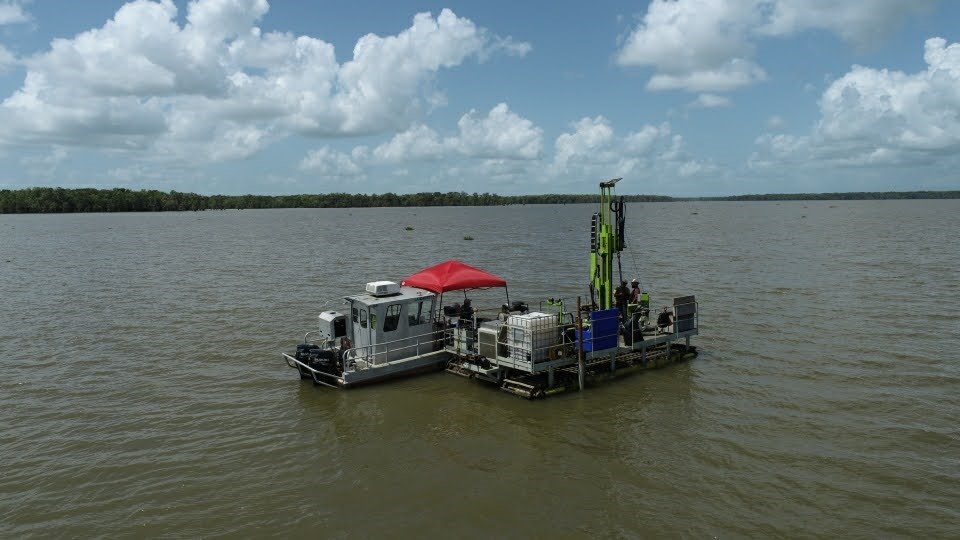
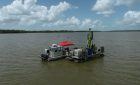
S&ME’s field exploration program included a total of 25 soil borings completed to a depth of 30 feet below the mudline. The soil borings were performed from S&ME’s amphibious drill rig which includes a Mobile B-29 drill rig mounted to a marsh buggy carrier. Soil sampling was performed continuously with S&ME’s Gregory Undisturbed Sampler (GUS), which is a hydraulically driven piston sampler used to obtain undisturbed samples in soft, cohesive or semi-cohesive soil conditions. The borings were performed over open water with water depths varying from 2.8 feet to 8.7 feet at the time of exploration.
Laboratory testing for the project included moisture content determination, unit weight determination, Atterberg limits, triaxial testing, gradation, consolidation, organic content, minivane testing, and column settling tests. Based on lab results, sediment end use classifications and quantities were assigned to the materials for the use in future projects.