Bayou La Loutre Ridge Restoration and Marsh Creation
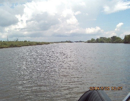
The Bayou La Loutre Ridge Restoration and Marsh Creation Project site is in St. Bernard Parish, Louisiana, adjacent to the Mississippi River Gulf Outlet (MRGO), south of Lake Borgne, and north of the MRGO closure structure. The project will restore approximately 5.46 miles of forested ridge along Bayou La Loutre using borrow soils excavated from the adjacent bayou. Additionally, hydraulically dredged material from Lake Borgne will be used to create approximately 163 acres of marsh and nourish another approximately 258 acres for a total of approximately 421 acres of marsh created/nourished along Lena Lagoon. The marsh creation borrow area portion of the project includes roughly 1500 acres of open water on the southeast portion of Lake Borgne. Tidally influenced water depths at the time of drilling varied from approximately 8.9 to 12.5 feet at the soil boring locations.
The field exploration program for the project included drilling and soil sampling at a total of 29 locations. Eleven of the soil borings were completed along the proposed ridge restoration footprint to depths varying from approximately 40 to 65 feet below ground surface. Nine soil borings were completed to a depth of 20 feet below existing mudline in Bayou La Loutre and the MRGO where borrow material will be taken for the proposed ridge restoration. Nine soil borings were completed in the proposed marsh restoration area to depths varying from approximately 40 to 60 feet below the existing mudline. Soil borings were performed by SER under the supervision of an S&ME engineer from a drill rig mounted on tracked amphibious platform and an airboat-mounted drill rig at several locations at the request of a landowner.
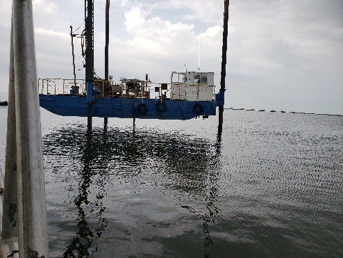
The field exploration program for the marsh creation borrow area included drilling and soil sampling to a depth of 20 feet below the mudline at a total of 9 locations on Lake Borgne. Borings were performed by SER under the supervision of an S&ME engineer from a drill rig mounted on a jack-up barge.
Laboratory testing for the project included moisture content determination, unit weight determination, Atterberg limits, triaxial testing, gradation, consolidation, organic content, specific gravity, and settling column testing.
Geotechnical analyses for this project included a geological desktop study; slope stability analysis for the earthen containment dikes (ECDs) and ridge; bearing capacity analyses for the ECDs and ridge; settlement analyses for the ECDs, ridge, and the marsh subgrade; and marsh fill analyses.