June 23, 2020

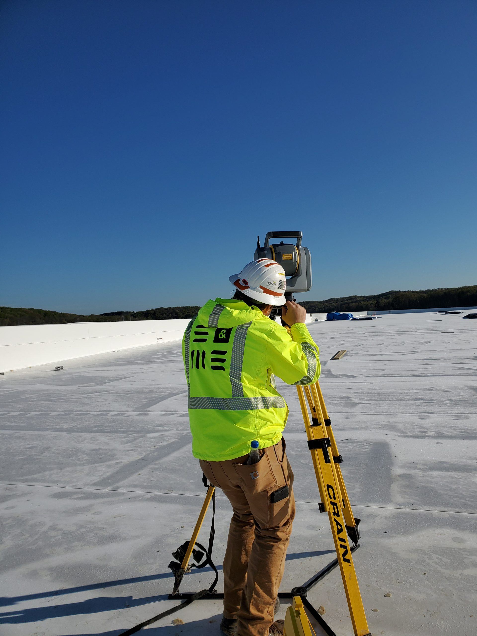
S&ME conducts a LiDAR scan for the Volkswagen Plant to determine the load-bearing on a new roof in Chattanooga, TN.
A land survey is the technique and application of methods to measure and locate man-made features, natural features, elevation, angles, and property boundaries. There are many forms of surveys used today that allow you to make informed decisions with the data they provide. Find out which survey might meet your specific needs:
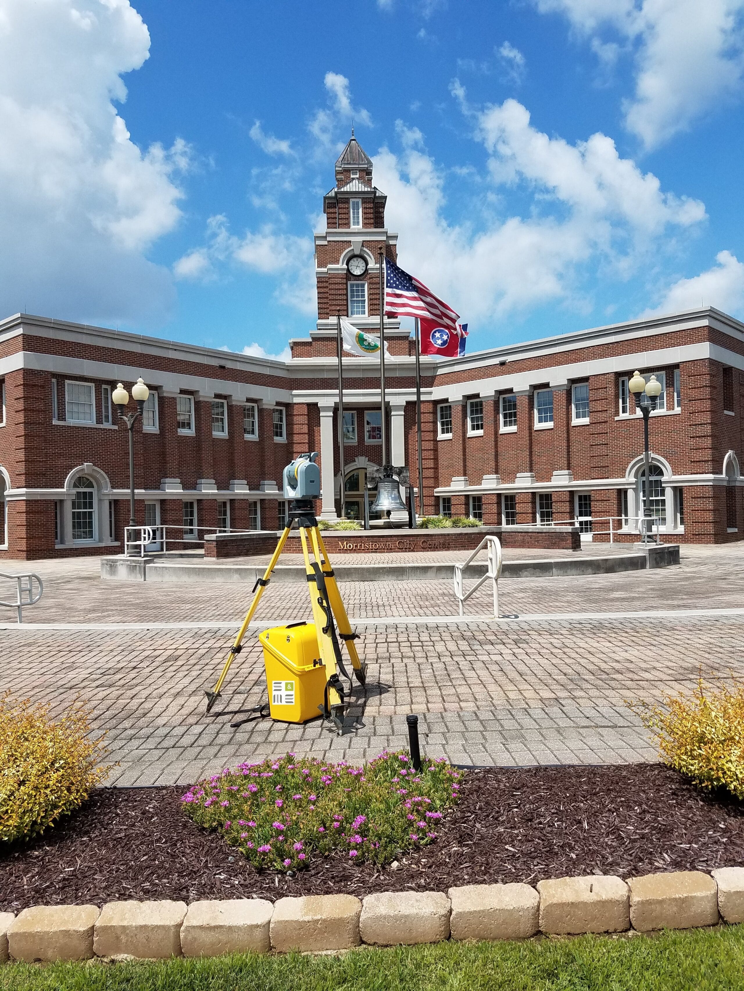
S&ME conducts a LiDAR scan project for the development of a parking garage for the town of Morristown, TN.
Are you purchasing, selling, or refinancing your property?
An ALTA/NSPS Land Title Survey is your choice.
This land survey is one of the most comprehensive surveys, covering all aspects of a property, and is in accordance with the American Land Title Association (ALTA) and the National Society of Professional Surveyors (NSPS). These surveys are used to fulfill requirements and assist parties in a commercial real estate transaction, typically when lending is involved. Title attorneys, lending, and insurance companies have specific needs, unique to title insurance matters when asked to insure title to land.
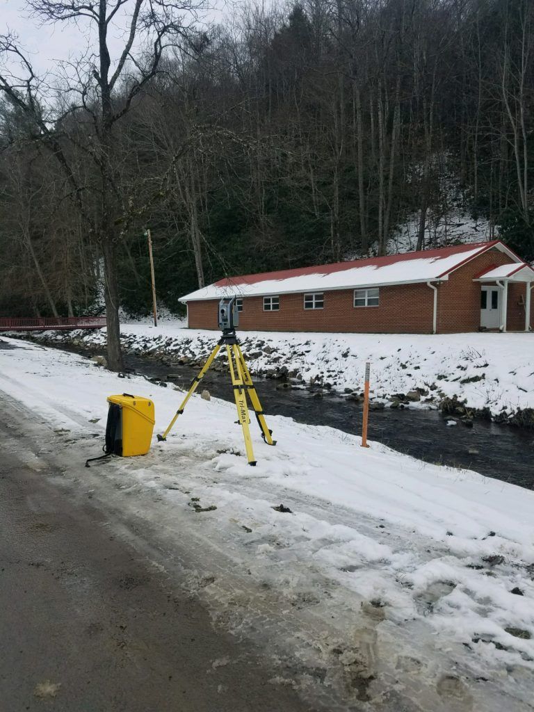
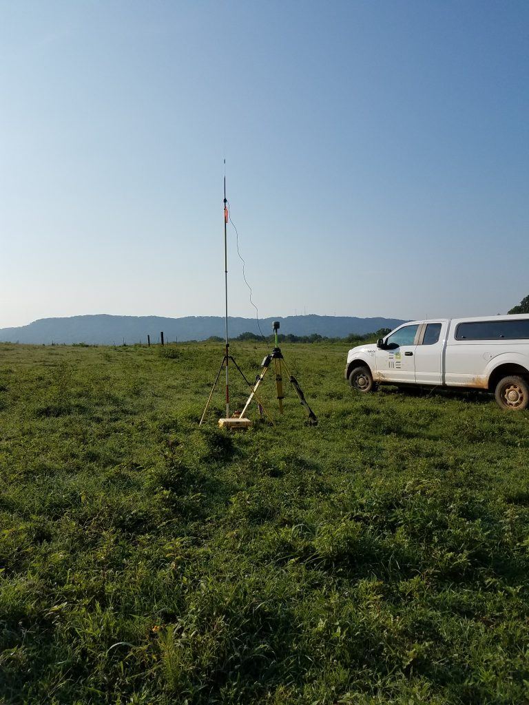
S&ME conducts a survey for new culverts TDOT planned to replace in Johnson County, TN.
Do you need to determine the boundaries of your property?
A Boundary Survey is what you are looking for.
Boundary surveys are used to determine a property’s boundary lines. Typical services include providing legal descriptions and exceptions (such as easements) for the land. If you need evidence such as existing property corner monuments, block corners, subdivision corners, and section corners, a boundary survey may be your answer. Once enough monumentation and other evidence are located, a series of measurements are performed and compared to the legal descriptions for the land.
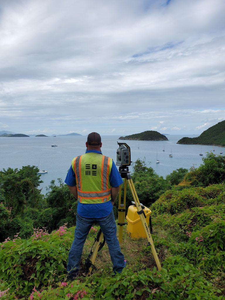
S&ME conducts a topographic survey for rebuilding houses due to hurricane damage in St. John, US Virgin Islands.
Do you need a graphical representation of the terrain and improvements on your property?
A Topographic Survey is what you need.
Topographic surveys show existing terrain land features and any improvements to the land. The topographic survey includes mapping of drainage patterns, locations of rock outcroppings, hills, and other natural and built features. These surveys are useful to show what the land looks like currently and how it may impact potential design and construction.

S&ME conducts a survey for the building of the new lock in Chattanooga, TN.
Are you constructing any improvements?
A Construction Layout Survey will help.
Construction Layout provides a designation for the above and below ground location of a structure that will be built according to plans and specifications.
These typically include:
- High Accuracy Positioning & Alignment
- Utility Locations
- Foundation Layout: Caissons, micro piles, concrete footings, site work layout, building layout, anchor bolts, embed plates, structural walls
Are you looking for a surveyor? S&ME is your solution.
S&ME has a local presence, but with multiple state licenses for surveying. Therefore, our in-house capabilities and footprint are far-reaching across the southeastern United States.
S&ME Survey Capabilities
Our survey field crews are equipped with the latest survey technology, including robotic total stations, GPS/GNSS receivers, and terrestrial scan stations that give them the ability to perform a variety of land surveys. Additionally, our Windows-based data collectors and laptops allow information to be transferred from the field to the office in near real-time. All survey projects are managed by Licensed Professional Land Surveyors with the support of in-house technicians.
Our Surveying Team routinely produces the following types of surveys:
- ALTA/NSPS Land Title Surveys for commercial properties
- Boundary Surveys for Industrial Development
- Boundary and Topographic Surveys for residential and commercial properties
- Horizontal and Vertical Control Surveys for geodetic and photogrammetric projects
- Planimetric Surveys for Geographic Information Systems (GIS)
- As-Built Surveys for existing conditions after construction
- Construction Layout
- High Accuracy Machinery Positioning and Alignment
- Hydrographic surveys for water bodies
- Underground Utilities and Appurtenances
S&ME conducts a topographic and boundary survey for a new wastewater treatment facility in Ooltewah, TN.
S&ME Survey Locations
We produce surveys in the following metropolitan and surrounding areas:
- Nashville, Tennessee
- Knoxville, Tennessee
- Kingsport, Tennessee
- Murfreesboro, Tennessee
- Lexington, Kentucky
- Huntsville, Alabama
- Tampa, Florida
And many other locations across our footprint.
Contact Us
For more information on how we may be able to help with your surveying needs, please contact Brad Salsbury at bsalsbury@smeinc.com.