Lower Neuse Trail Greenway

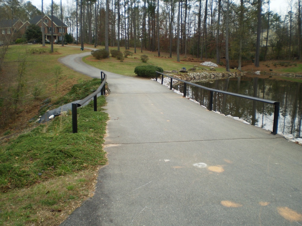


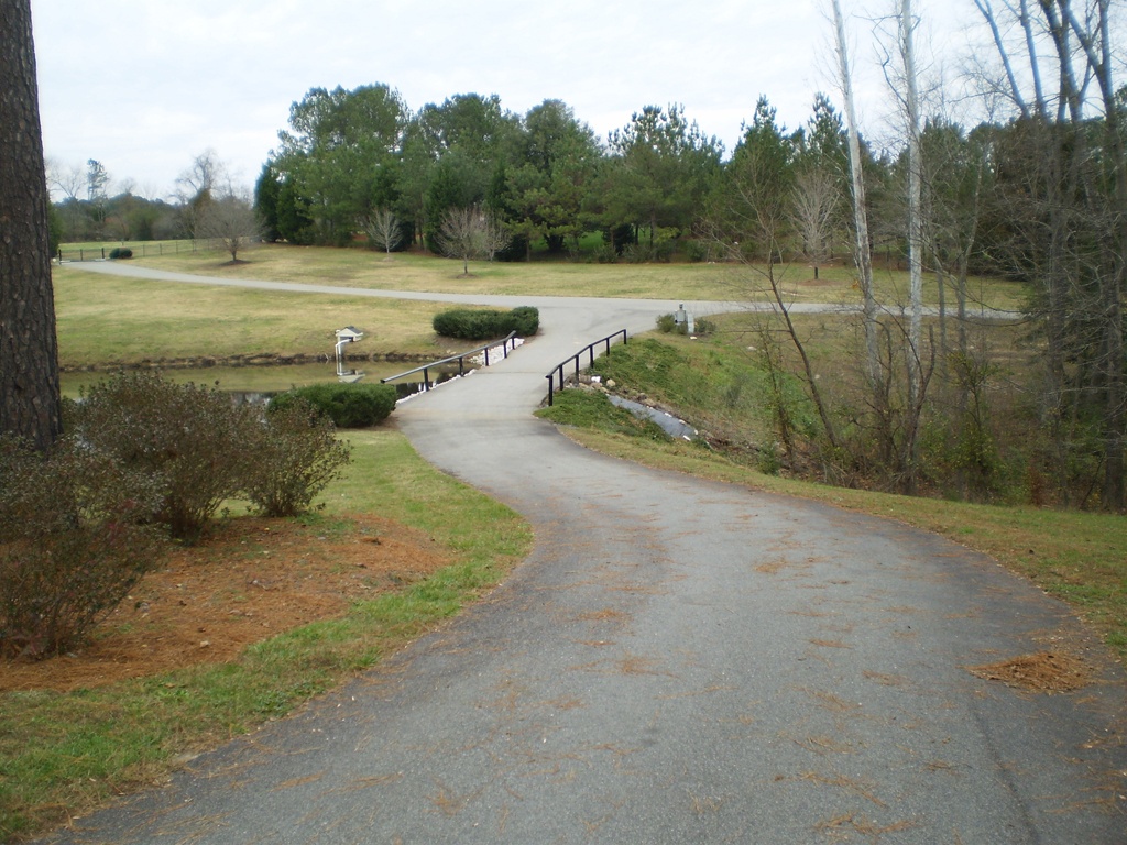
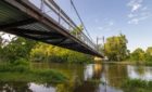
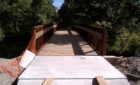
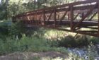
The Neuse River Greenway Trail is a signature part of the City of Raleigh’s Capital Area Greenway System. With winding boardwalks, scenic wetlands, and interpretive signage, the Greenway connects to the larger Mountains-to-Sea Trail that stretches from the Smoky Mountains to the Outer Banks. The 28-mile segment extends from Falls Lake Dam to the Wake/Johnston County line. The Greenway also includes connections along both Walnut Creek and Crabtree Creek. It is anticipated that future connections will be made to the neighboring localities of Wake Forest and Knightdale.
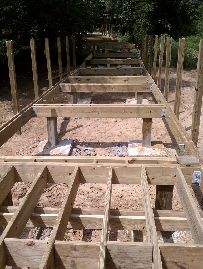
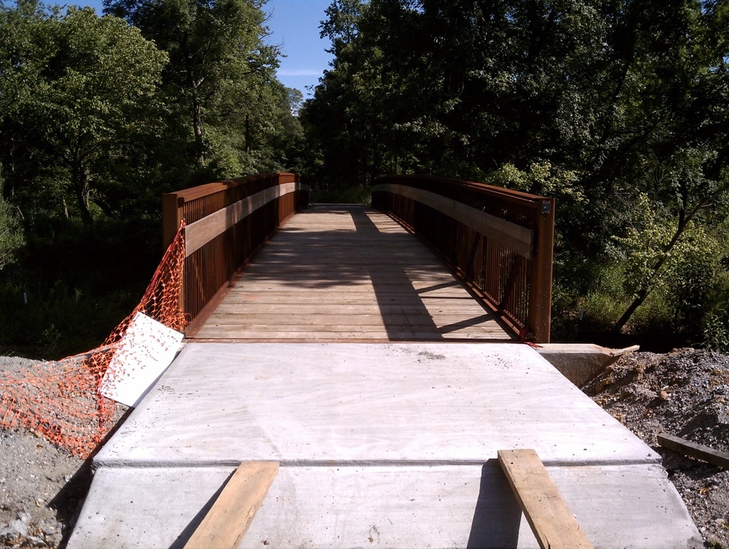
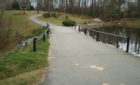
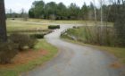
As part of the consultant team, S&ME determined the existing gravel and soil subgrade conditions along the trail alignment for addition of asphalt paved surfaces. The purpose of the preliminary geotechnical study was to explore the subsurface conditions and develop geotechnical recommendations for the design and construction of the future Greenway trail.
Highlights
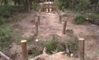
- Visited the site to observe surface conditions and proposed test locations.
- Contacted and coordinated with Stewart Engineering and City of Raleigh personnel regarding access.
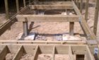
- Performed Kessler Dual Mass Dynamic Cone Penetrometer (DCP) tests at the 26 locations to estimate field CBR values.
- Visually classified the subgrade soils and measured existing stone surface thicknesses.
- Prepared this subgrade evaluation and recommendation report for the subject segment of NRT.