
July 14, 2026
Geotechnical Subsurface Exploration and Environmental Services
Location: Hilton Head Island and Bluffton, South Carolina
Owner: South Carolina Department of Transportation (SCDOT)
Client: KCI Technologies
- Supported US 278 Corridor Improvements with geotechnical subsurface exploration and environmental assessment along a critical coastal corridor in South Carolina
- Completed multi-phase investigations across approximately 200 test locations to support bridge replacement and roadway design
- Navigated complex field conditions, including marsh terrain, tidal impacts, active traffic, and variable subsurface soils
- Delivered data to advance design and improve long-term connectivity between Bluffton and Hilton Head Island
The Project
S&ME provided geotechnical subsurface exploration and environmental assessment services for the 278 Corridor Improvements project, a major infrastructure initiative led by the South Carolina Department of Transportation (SCDOT). Working under KCI Technologies, the project focuses on improvements along a critical transportation corridor connecting Bluffton to Hilton Head Island, South Carolina.
The effort includes bridge improvements over Skull and Mackay Creeks, the Hog Island Connector bridge, and associated roadway segments across approximately four miles of coastal terrain.
The US 278 corridor is the primary connection between Bluffton and Hilton Head Island, serving residents, businesses, and millions of annual visitors. Increasing traffic demand and aging infrastructure have led to congestion, reliability concerns, and limited alternative routes. Originally constructed in 1956, the eastbound bridge is nearing the end of its service life, making replacement essential to support mobility, economic activity, and emergency evacuation.
Background
The project was initially developed as a corridor-wide improvement effort, including roadway enhancements, intersection upgrades, and bridge improvements. Early exploration efforts between 2018 and 2024 included more than 60 test locations and supported feasibility evaluations and preliminary design.
As the project evolved, the scope shifted to focus on replacing the US 278 eastbound bridge over Mackay and Skull Creeks, while maintaining elements of the broader corridor improvements.
S&ME was engaged to complete the final phase of geotechnical subsurface exploration to support bridge design. This phase included approximately 50 additional subsurface test locations, building on prior investigations to develop a comprehensive understanding of subsurface conditions.
Across all phases, the project included roughly 200 test locations and more than 1,000 soil samples evaluated to inform bridge, embankment, and roadway design.
The Challenge
The project required subsurface exploration along a tightly constrained coastal corridor, where transportation, environmental, and access challenges converged.
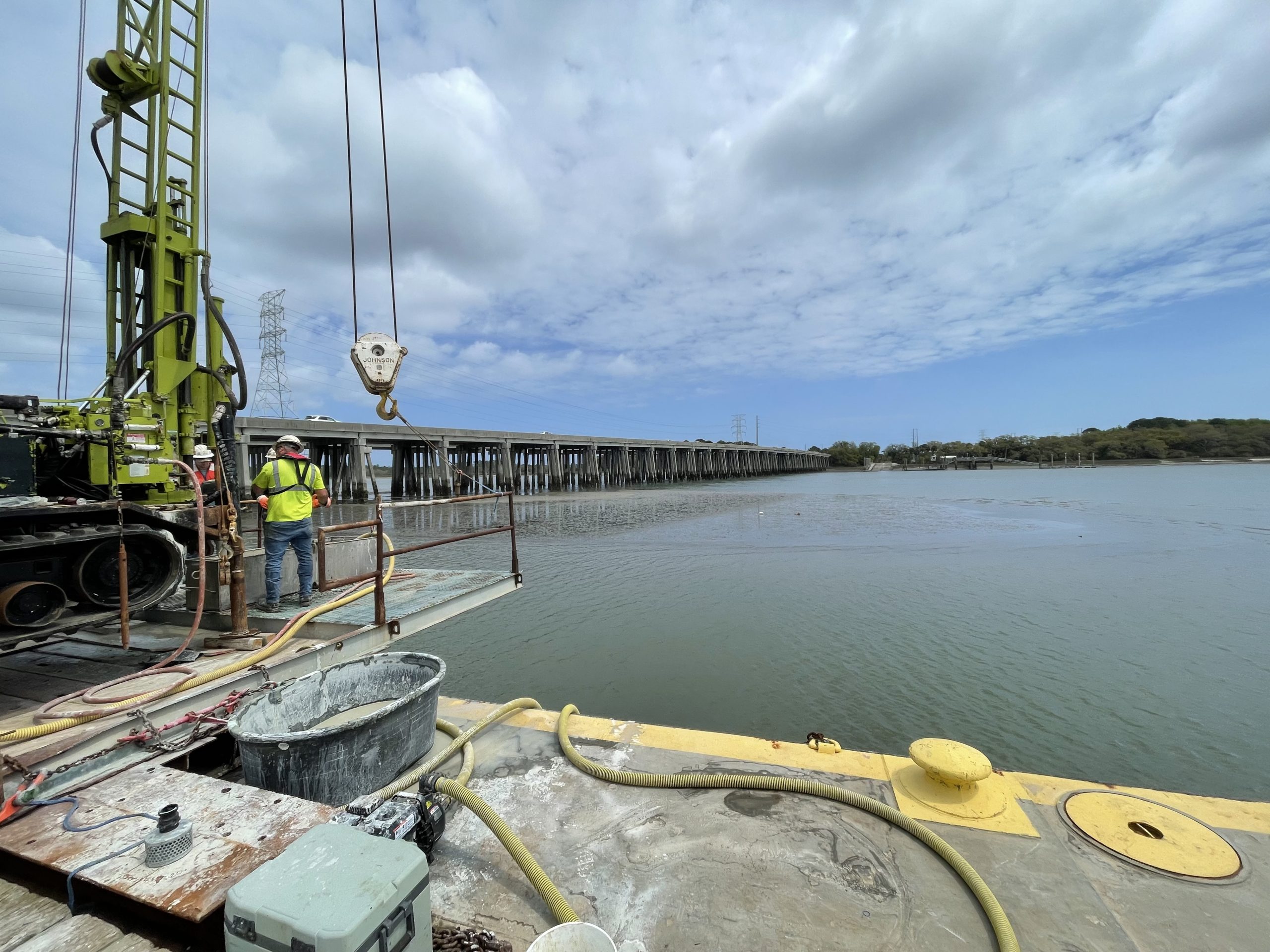
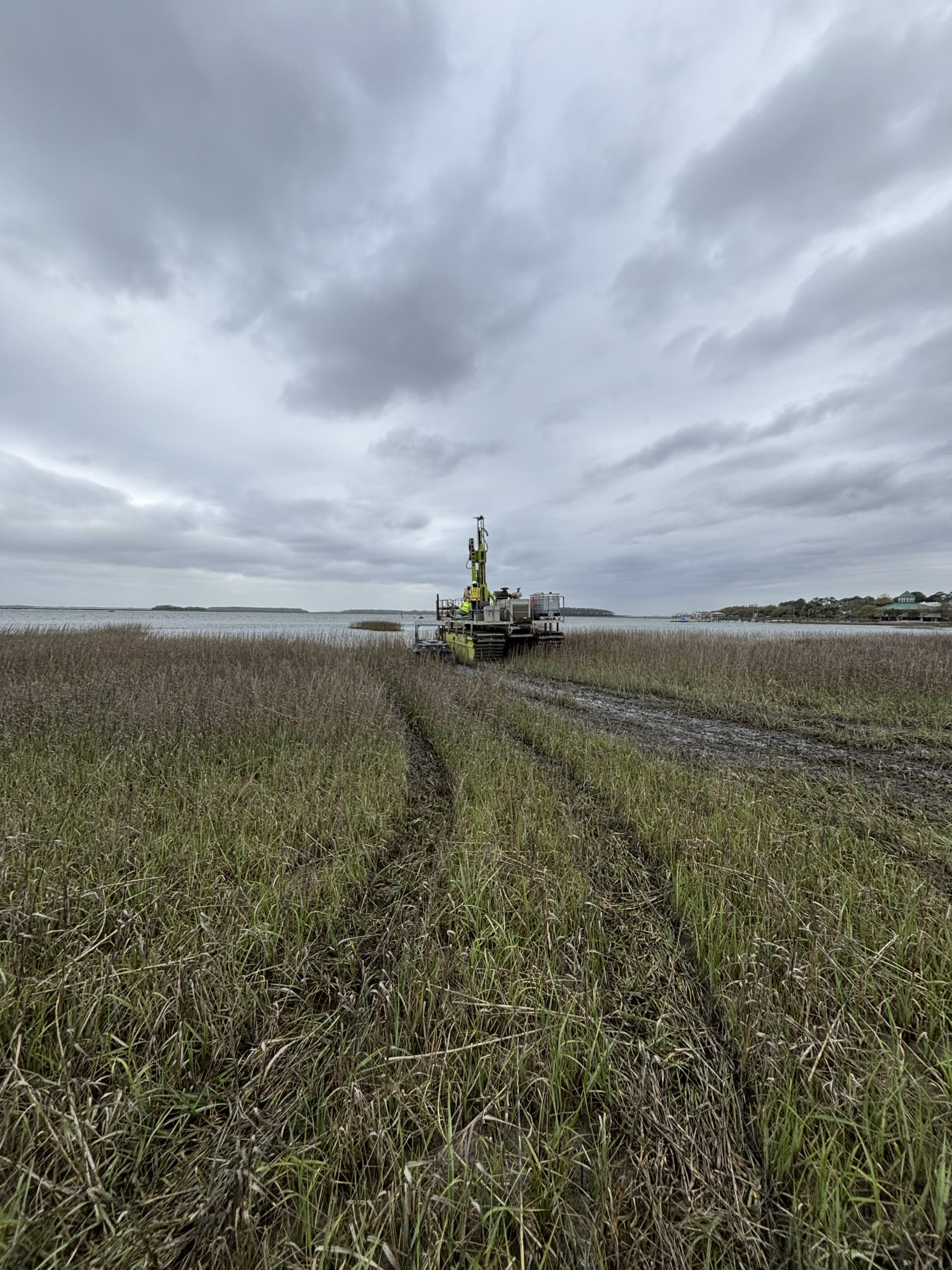
Fieldwork was conducted alongside active travel lanes with heavy traffic and extended into sensitive marsh and tidal environments. Many locations were only accessible by water or across soft ground, requiring specialized equipment and carefully coordinated logistics.
Subsurface conditions added further complexity. Layers of soft coastal soils transitioned into deeper marl deposits and limestone, with variable formations requiring detailed characterization to support foundation design.
Tidal fluctuations affected site access, equipment stability, and drilling efficiency, requiring continuous adjustment to field operations. Our crews also navigated a dense network of existing utilities, coordinating closely with stakeholders to verify locations and avoid conflicts.
As the project progressed, the team remained flexible, mobilizing specialized equipment and adjusting schedules to meet shifting priorities while maintaining progress within the overall timeline.
Hear from Our Director of Health, Safety, and Environment, Dave Duke:
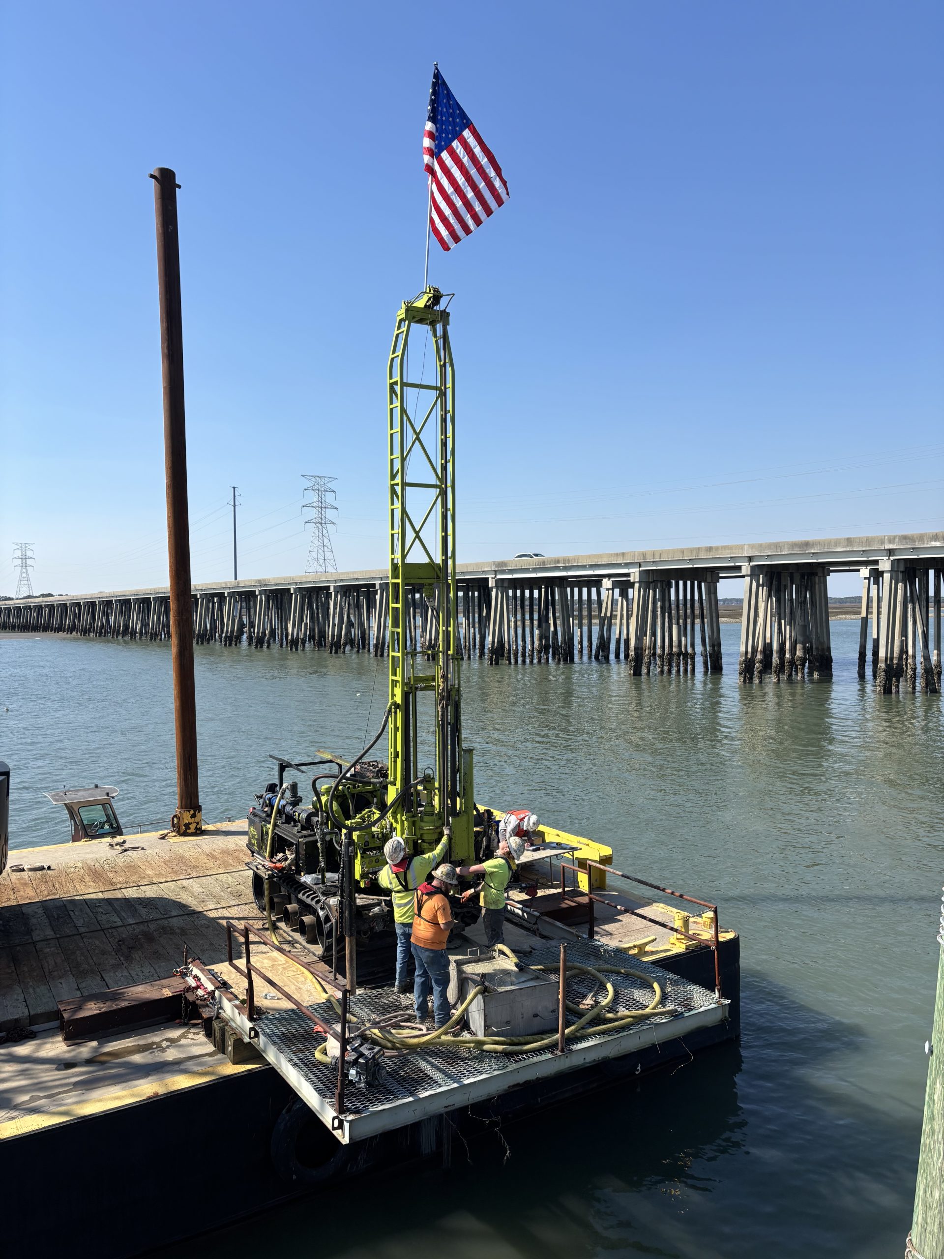
“Overwater drilling introduces challenges that aren’t present on traditional sites such as moving platforms, changing water levels, and limited access. Our focus is on planning ahead, maintaining strong communication in the field, and making real-time decisions that keep our crews safe in a dynamic environment.”

Our Technical Approach
Geotechnical Subsurface Exploration
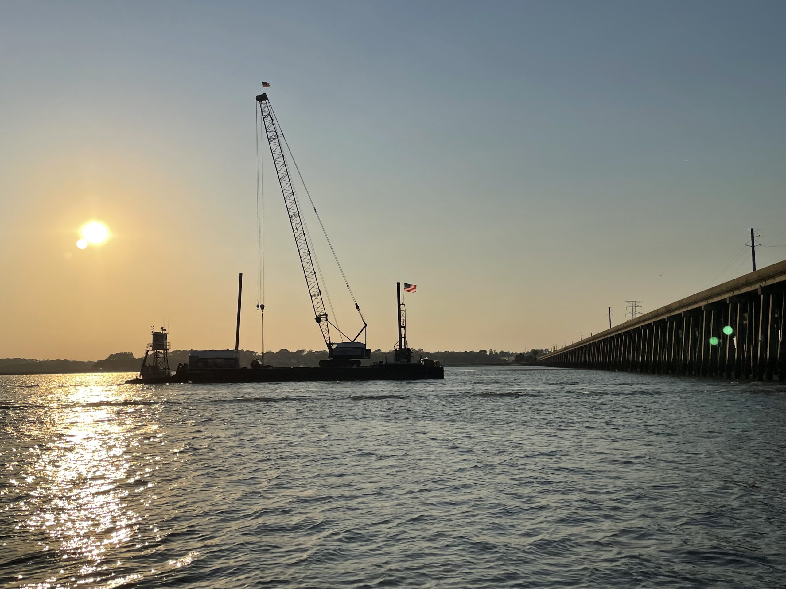
S&ME implemented a comprehensive subsurface investigation program including soil test borings (STB), cone penetration test (CPT) soundings, seismic CPT (SCPT), dilatometer test (DMT) soundings, vane shear testing, and Multi-Channel Analysis of Surface Waves (MASW).
The final exploration phase included approximately 50 test locations, with borings extending to depths of up to approximately 140 feet to characterize conditions for bridge foundations and embankments.
Director of Field Exploration, Jarod Ford, shares:
“The geotechnical subsurface exploration was performed under challenging coastal conditions, including variable tides, soft marsh deposits, and limited access, requiring adaptive drilling strategies and careful logistical coordination to meet an accelerated schedule.”

Adaptive Access Strategy
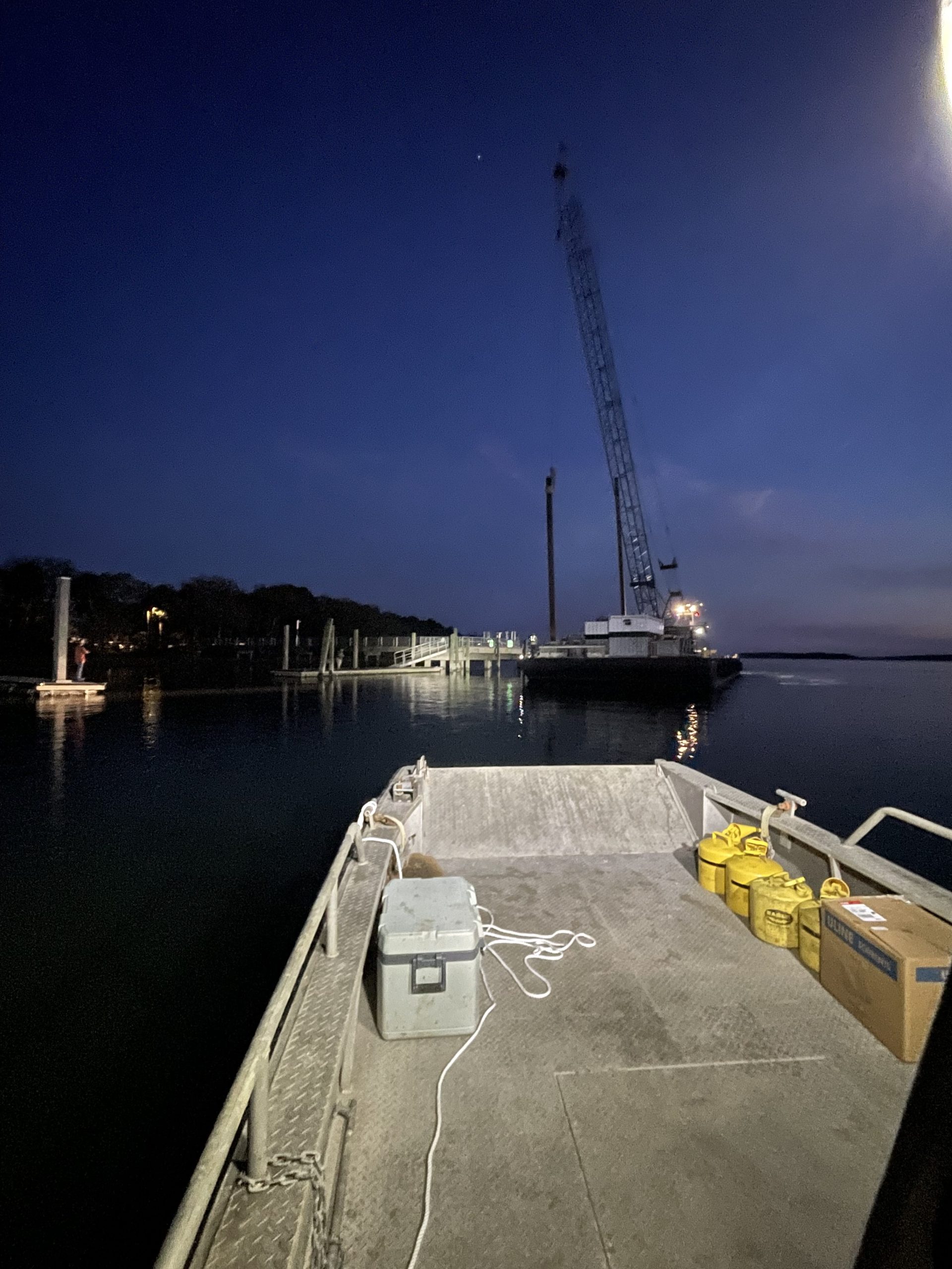
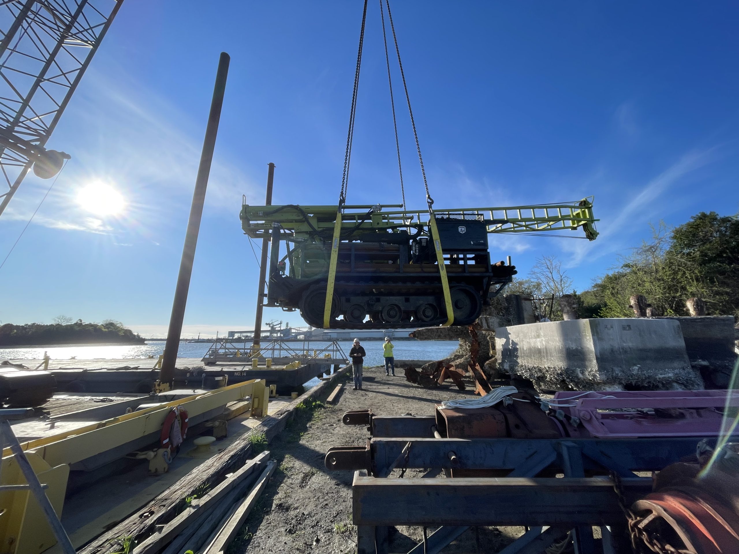
To navigate challenging terrain, S&ME deployed a range of specialized equipment, including ATV-mounted drilling rigs, amphibious carriers, and barge-mounted platforms. This approach enabled access to roadway, marsh, and open water locations across the project corridor.
Field operations were coordinated around traffic patterns and environmental conditions, with select work completed during off-peak hours to improve safety and minimize disruptions.
Coastal and Subsurface Considerations
Exploration activities accounted for tidal influences and variable soil conditions. Mud rotary drilling techniques were used to stabilize boreholes in saturated soils, and sampling included both split-spoon and Shelby tube methods to obtain representative data for laboratory testing.
Water level measurements were coordinated with tidal conditions, and data collection methods were adapted to account for fluctuating groundwater levels in coastal environments.
Utility and Stakeholder Coordination
S&ME worked closely with utility providers and project stakeholders to coordinate boring locations and avoid conflicts with existing infrastructure. Ongoing communication supported safe and efficient completion of the exploration program.
Environmental Assessment
S&ME completed a Phase I Environmental Site Assessment (ESA) in accordance with ASTM E1527-13 and developed a Phase II Environmental Work Plan. This effort identified areas requiring further evaluation, including potential hazardous materials concerns.
Technical Principal, Greg Canivan, PE, shares:
“This project required a lot of coordination and attention to detail in the field. Our team took a proactive approach communicating regularly with the project team and adapting our work as needed to make sure we delivered accurate results and supported the overall success of the project.”

The Impact
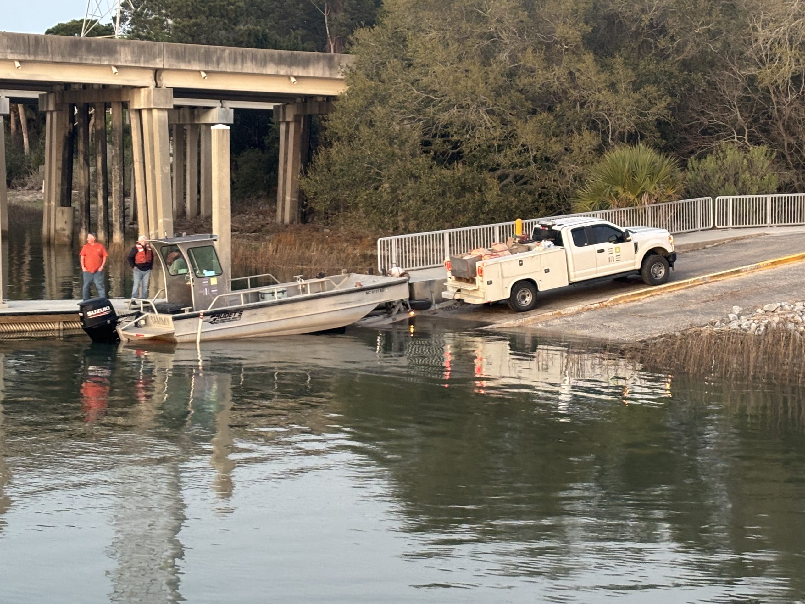
S&ME’s work provided the geotechnical and environmental data needed to advance design of the US 278 eastbound bridge replacement and associated corridor improvements. Deliverables included a baseline geotechnical report, preliminary design reports, and pavement testing data to support roadway design.
Completion of the final exploration phase across roadway, marsh, and marine environments provided a detailed understanding of subsurface conditions in a complex coastal setting. Integrating data from multiple investigation phases allowed the project team to refine design assumptions and support development of bridge foundations and embankments.
This work positions SCDOT to advance improvements to a critical regional corridor, enhancing long-term transportation reliability and connectivity between Bluffton and Hilton Head Island.